Utah's National Parks - Zion, Bryce Canyon and Arches
5th - 10th September 2008
We'd last visited Zion eleven years earlier, almost to the day. Despite the detour of several hundred miles to reach the south of Utah and revisit the park, we'd loved it so much the first time, there was no hesitation in returning.
On arrival, we found that the park had changed considerably. The first noticeable change was how busy the park seemed, whether this was actually an increase in the number of visitors or just our perception was debatable. On the plus side, the park had introduced free shuttle buses and banned private vehicles on the winding, narrow road up the canyon to Temple of Sinawava, which had brought relative peace back to the previously congested area.
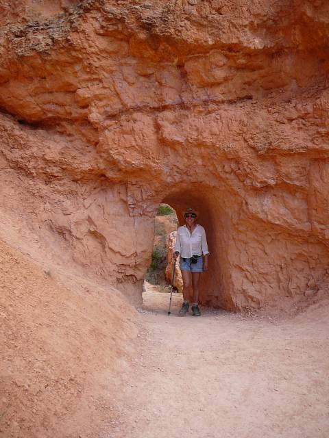
A campground ranger had advised us to take a look at some Native American pictographs etched in the rocks just across the road from our campground, adding that these were the only ones tourists were routinely told about. When we checked them out we realised why. Alongside the ancient drawings on the rock, tourists had added their own graffiti. Although the Park Service had done what it could to preserve the original pictographs, it was no wonder that they liked to keep the locations of others hidden.
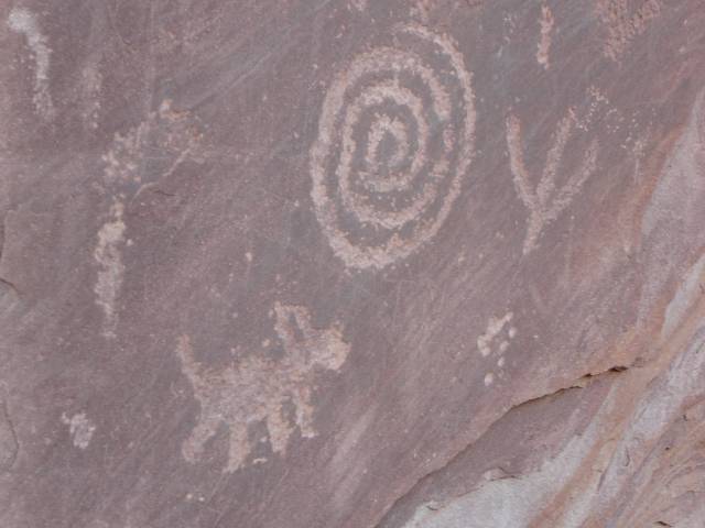
Ancient pictographs and not-so-ancient graffiti
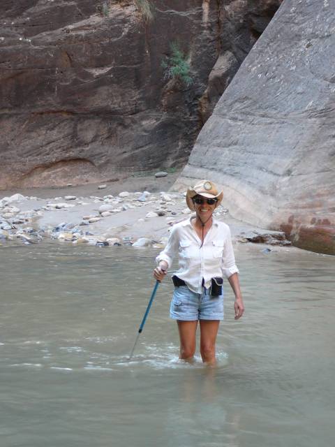
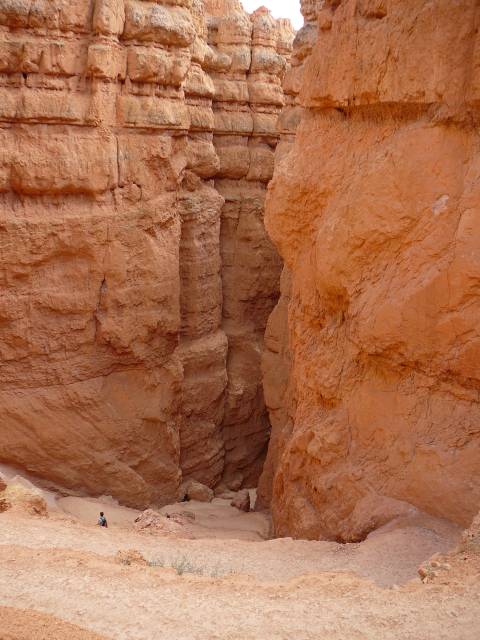
Hiking to the narrows.
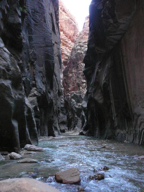
The narrows.
The sticks also gave the added advantage of being able to test the depth before placing your feet. We saw several people discover unexpected deep holes, into which they disappeared up to their necks! The going was slow and by the time we were making our way back, the light was fading. We were surprised to pass several groups and individuals just setting off up the canyon as we headed back. It wouldn't have been a trip we'd have liked to make in poor light! On our return trip we sat for a while and watched a bat flying over the river, dining on bugs. We were happy to make it back to the bus stop with no twisted ankles, broken bones or wet clothes!
Route from Emerald Pool to the Grotto
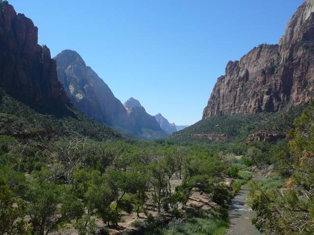
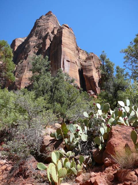
View up the valley at Zion
We'd planned on a siesta to recover but it was so hot inside Harvey that this just wasn't possible. We decided instead to ride the other shuttle bus route into the nearby town and back, to cool off. We hung around a while in the air conditioned visitor centre and finally took a trip back up the canyon on the bus to the Weeping Rock. Here a short trail led you to the cliffside which wept a curtain of icy cool drops of water. This was rainwater absorbed into the porous rock surface high above, which after a considerable amount of time, made it to the lower part of the cliff where it "wept" out again. It was a surreal sight and a welcome means of cooling off!
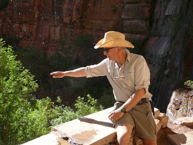
Phil cools off at the Weeping Rock
You'll have to get off the bus eventually, they stop at 11 pm!
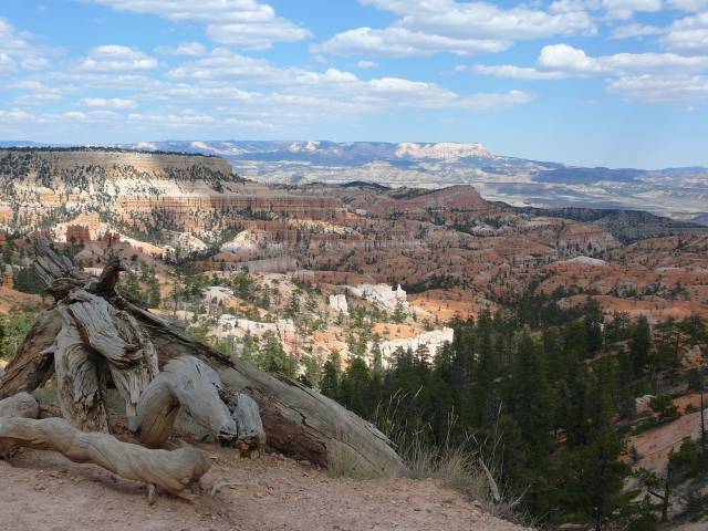
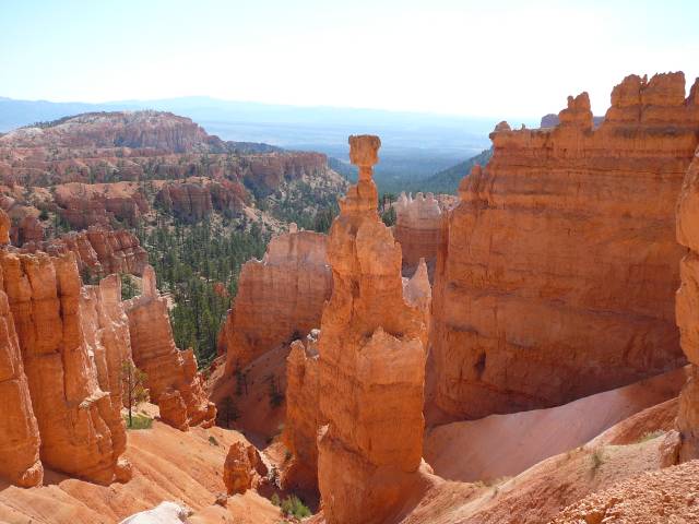
We stayed put in our beautiful spot and set off to explore. Once we left the crowded rim and walked down into the canyon, things became far less congested. Probably due to the steep hike back up to the rim which came at the end of every trail! We wandered through the amazing geological features of the Queens Garden and Navajo Trails. The scenery was so stunning it was impossible to take a bad photograph but we filled our camera's memory card trying!
At the end of our walk we headed back up to the rim through an area known as Wall Street. This was a narrow canyon where you headed uphill until reaching an area where switchbacks had been cut into the rock to make the walk less steep.
Hiking the Navajo Loop
Half way up the switchbacks from Wall Street
Tired was no excuse the next morning. Philip was determined that Christine would see a Bryce Canyon Sunrise, as he had on our previous visit. On that occasion he had been unable to persuade Christine or Trish, who was travelling with us, that it was worth staggering out of bed so early.
It helped this time that we were ten minutes walk away from the rim and that the sun didn't rise until after 7 a.m. A cup of tea was thrust into her gloved hand and Christine was dragged up to the rim. Miracle of miracles, Christine saw sunrise at Bryce for herself! We'd started out dressed like the Michelin man with layers and layers of clothes to ward of the cold of the desert dawn. The dramatic increase in temperature once the sun rose was impressive and we strolled back for breakfast carrying most of our wardrobe!
But its sooooooo early!
Sunrise at Bryce Canyon - yes Trish, Christine was there in person!
We turned eastwards through Capital Reef National Park, pressing on in view of the weather, with which we played hide and seek all the way to Moab. Here we camped at a commercial campground ready to visit Arches National Park the following day.
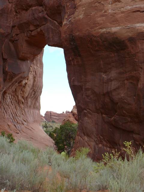
Perhaps we had rock fatigue or maybe it was the combination of weather, crowds and roadworks on the narrow roads, but our visit to the Arches National Park was fairly short. We managed to find a parking spot after the 20 mile or so drive to the Devil's Garden area. Here we hiked to see the delicate and fragile looking Landscape Arch, a true geological marvel. Before the rain caught us up again we had time to visit the Navajo and Pine Tree arches and spot a few native Bighorn sheep.
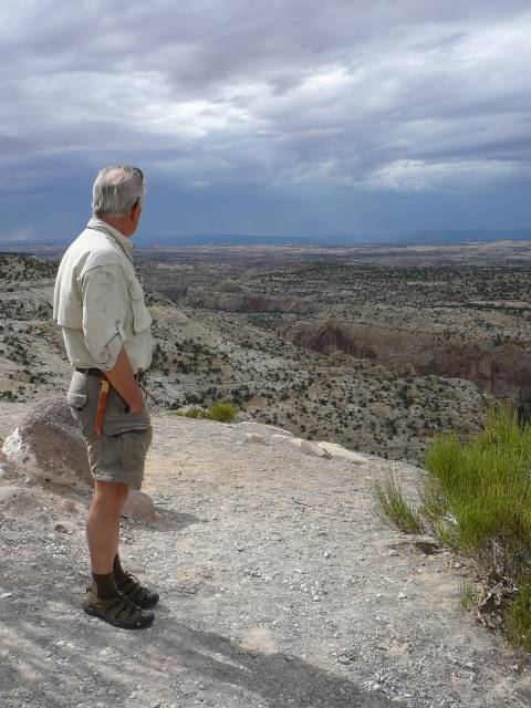
Phil ponders the approaching clouds
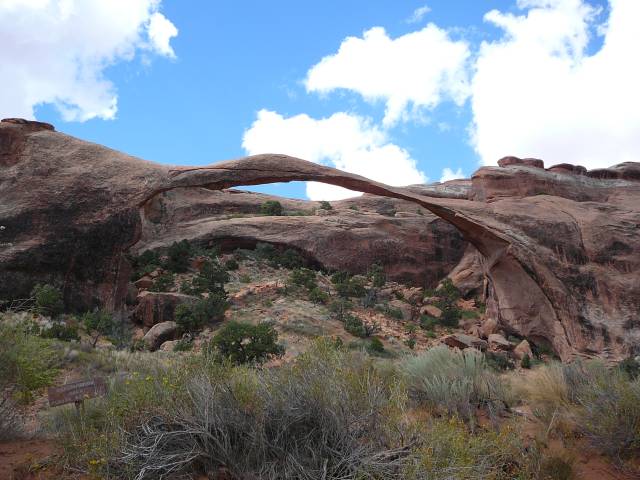
Landscape and Pine Tree Arches
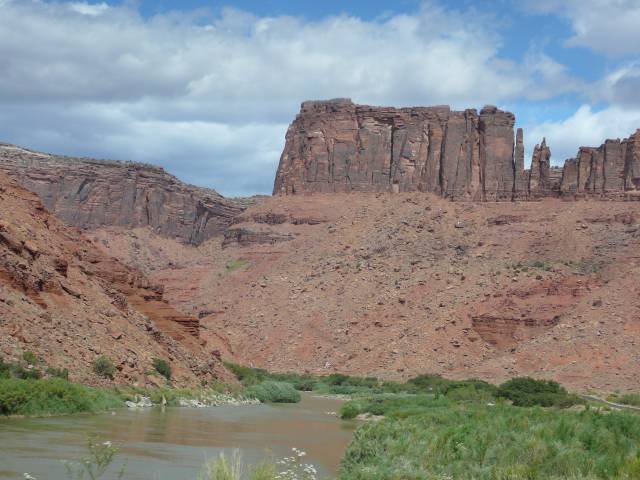
Unscary route 128 along the Colorado
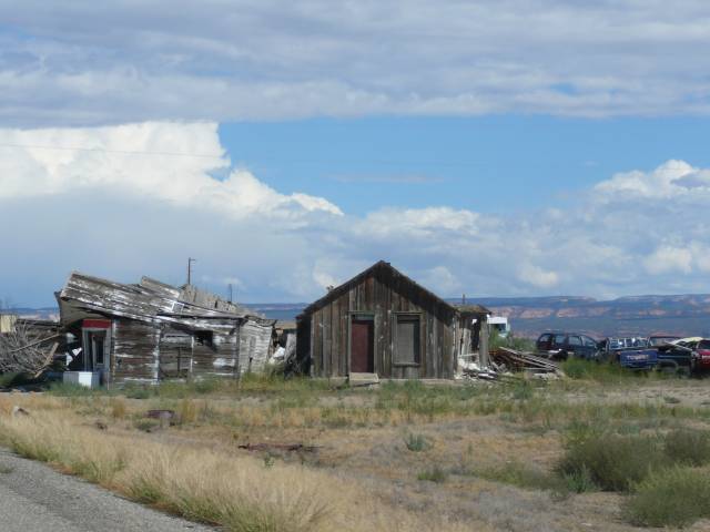
Hmmm, the gas station is where exactly?